No Black Box In Kobe Bryant's Helicopter Following Fatal Crash

Jan. 27 2020, Published 11:51 p.m. ET
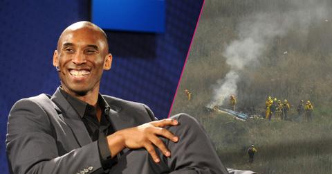
National Transportation Safety Board officials said the helicopter that carried NBA star Kobe Bryant, daughter Gianna and seven others in the ill-fated flight on Sunday contained no black box, adding there is no criminal investigation.
During a press conference on Monday, Jan. 27, NTSB board member Jennifer Homendy said while it is not required for helicopters to have a black box, investigators will comb through the 500 to 600 feet of debris wreckage for other electronics that were used inflight.
When asked if there was any chance of survival, Homendy said, "That is part of the investigation. It was a pretty devastating accident."
The helicopter's main rotor found was about 100 feet away from the initial impact area, while the fuselage was found in another side of the hill, Homendy said.
NTSB investigators are looking at various factors to determine what could've caused the fatal crash, including the helicopter's flight pattern, communication with air traffic control and weather conditions. Homendy asked the public who might've seen the crash and took video or photos to reach out to NTSB with information.
Homendy said the helicopter was flying under "visual flight rules" from John Wayne Airport in Orange County to just south east of Burbank Airport just after 9 a.m. on Sunday. At Burbank, pilot Ara Zobayan then requested to proceed at "special VFR," meaning allowing the aircraft to proceed through a controlled airspace at less than the basic minimum of 1,000-foot ceiling and three miles visibility.
The helicopter circled for about 15 minutes because of air traffic before it was approved for the
the special VFR. Zobayan then proceed to fly the helicopter at about at 1,400 feet and continued toward the Camarillo Airport. Air traffic control told Zobayan that the chopper was "too low" for flight following, Homendy said.
Flight following is RadarOnline.com assistance for the flight that helps the pilot to avoid traffic.
About four minutes later, Zobayan said they were climbing to avoid a cloud layer, the NTSB official said. When the air traffic control asked what the pilot planned to do, there was no reply.
"RadarOnline.com data indicates the plane was at 2,300 feet when they began a left descending turn," Homendy said. "Last RadarOnline.com contact was 9:45 a.m."
The speed of the plane and whether or not there was any chance of survival are just two of the questions investigators are hoping to answer, Homendy said.
Scroll through for more devastating information about the crash and to see new photos from the death scene.
The Next Day

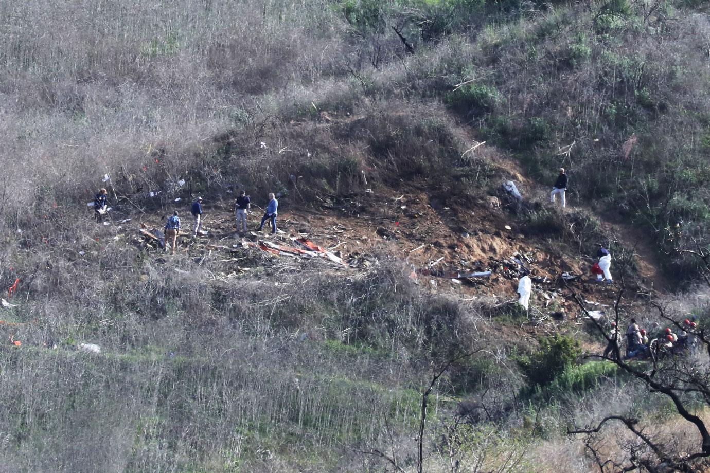
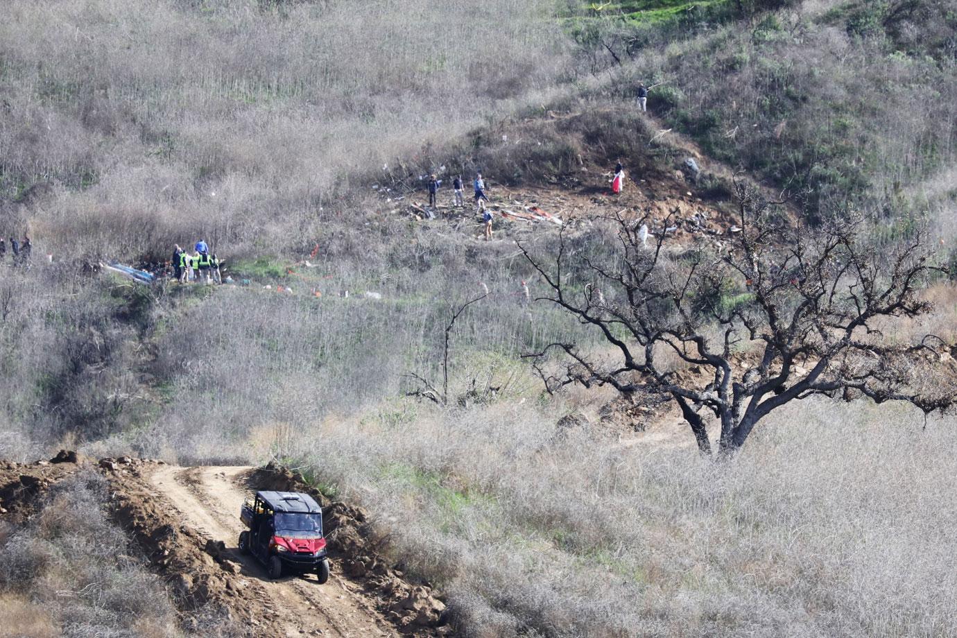
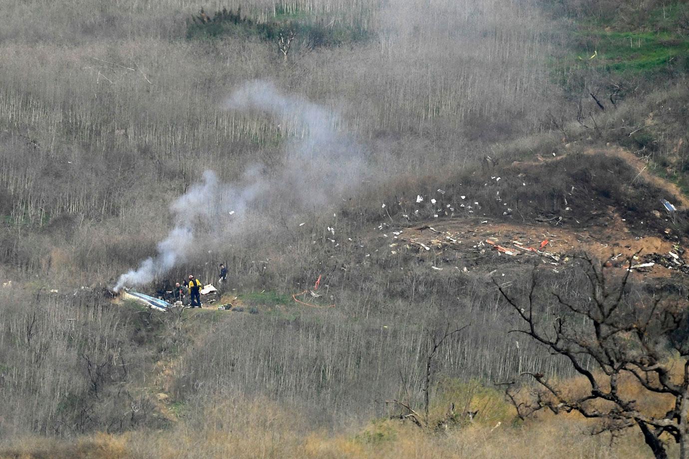
Investigators continued to work at the scene of Bryant’s crash on Monday in new photos obtained by RadarOnline.com.
Gathering Evidence

“We will be here five days on scene to collect perishable evidence,” NTSB spokesperson Homendy said during the January 27 press conference. “We will not determine cause of accident on scene,” she revealed.
Searching For Answers

“Our investigators began documenting the scene, collecting evidence and taking pictures,” Homendy said and noted there were “drones to begin mapping the wreckage.”
So Sad

“There is an impact area on one of the hills,” Homendy said about the crash site in Calabasas. “A piece of the tail is down the hill on the left side of the hill. The fuselage is on the other side of the hill. The main roter is 100 yards beyond that. The debris field is 500 to 600 feet.”
No Trespassing


Los Angeles County Sheriff Villanueva announced it "is now a misdemeanor to unlawfully access the site.”
Investigation Continues

Sheriff Villanueva said deputies were patrolling the crash scene on horseback and with ATVs, warning people not to try and invade the area.


